NZ Forest Lead Engine
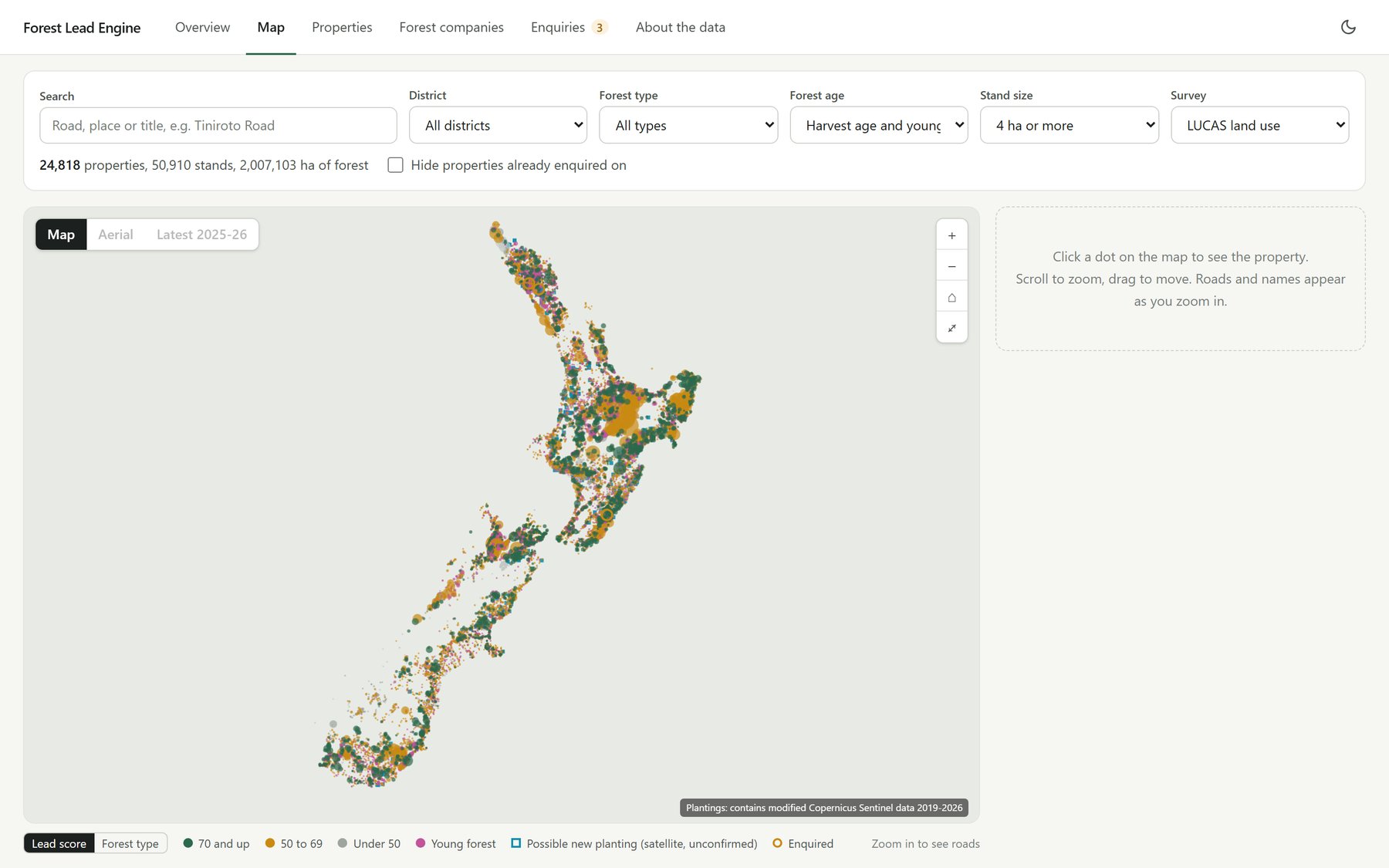
A national map of New Zealand's commercial forest, every block tied to a land title and scored on how good a lead it is, built for a forest sales agency.
The idea
Forest sales agents find their next listing the hard way: driving the backroads, knowing the right people, and hearing about a block once someone else already has. The question I was asked was simple to say and hard to answer. Where is every forest in the country that's coming up to harvest age, and which ones are actually worth a phone call?
The build
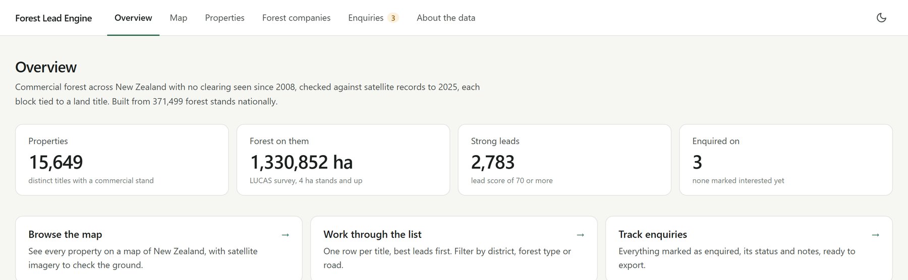
A Python pipeline pulls together open government data: national land-use surveys, the land title map, the address register, LiDAR elevation and years of satellite records. It stitches them into a database of over 371,000 forest stands, each tied to the title it sits on and the nearest named road.
Every block is then scored as a lead on its size, its age, its distance to port and how steep the ground is, after satellite checks rule out anything already harvested. Corporate estates that every agency already knows are pushed down the list, so the strongest leads are the workable, overlooked blocks.
The team works through it in a private dashboard: a national map with aerial imagery, a ranked list of properties, and a shared record of who has enquired on what. Its newest layer is my own satellite model, trained on Sentinel-2 imagery, that spots young plantings too new for any official map.
It's built to the licences, too. Owner data that can't legally be used for marketing stays out, and a test fails the build if it ever creeps back in.
Where it's at
It's live and in use by the client's team, and it keeps sharpening with their feedback from the field.